WELCOME TO SHIPSPOTTING.COM
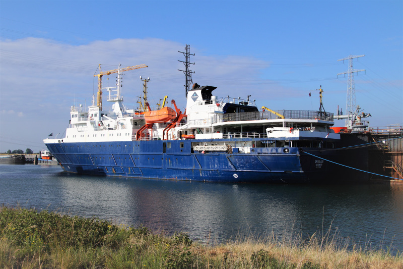
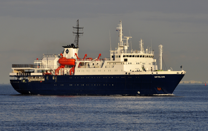
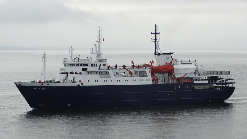
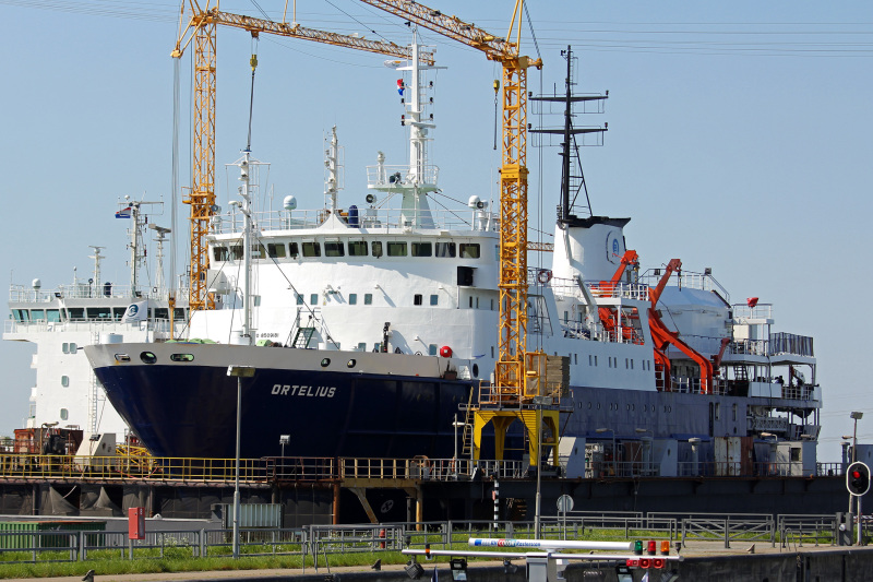
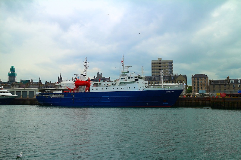
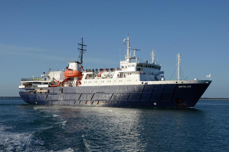
ORTELIUS - IMO 8509181

Photo
details
Description:
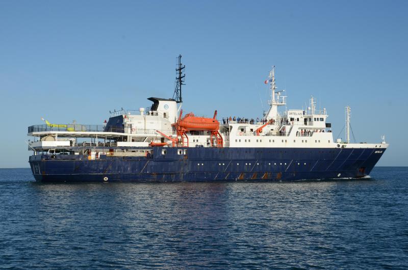
Dec 9/22 - Danco Island-Antarctica
In the distance, the Ortelius quietly passing by as we were zodiac cruising around Danco Island.
Danco Island is in the middle of the beautiful Errara Channel and is home to a large number of Gentoo penguins. Some of Antarctic’s best Zodiac cruising is right around the island, and if you get the timing right and the snow and penguins make it easy for you, climbing to the top of the island for the views can be one of the best things you will do in Antarctica.
In the middle of the Errera Channel, between Ronge Island and the Arctowski Peninsula along the Graham Land coast of the Antarctic peninsula.
This small island, about 1.6 kilometers (1 mile) long and 590 feet (180 meters) high was first charted by de Gerlache in 1898., It was named by Britain for Lieutenant Émile Danco, the Belgian geologist who died of a heart attack aboard the Belgica while it was trapped in the ice of the Bellingshausen Sea.
This landing site is one of the best sheltered spots in Antarctica. If you choose not to climb, there is still plenty to watch and do.
More than 2,000 pairs of breeding Gentoo penguins occupy the slopes behind the northern coast of Danco Island. Weddell seals are almost always present on the offshore rocks and beaches, and the Errera Channel is a favourite haunt of Humpback and Minke whales towards the end of the summer.
Source: Antarctic Guide
https://global.hurtigruten.com/ships/ms-roald-amundsen/
Vessel
particulars
Former name(s):
- Marina Tsvetayeva (Until 2011 Nov)
AIS Position
of this ship
Photo
Categories
This ship exists in the following categories:
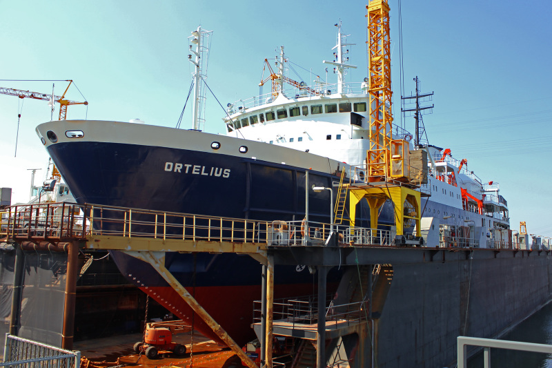
Ships under Repair or Conversion - 4 photos
Ships' Lifeboats and Tenders - 2 photos
Cruise Ships and Liners built 1981-1990 - 46 photos
Photographers
of this ship
(24)
6 photos
Wim Kosten / maritimephoto.com
1 photos
1 photos
2 photos
1 photos
4 photos
1 photos
1 photos
1 photos
1 photos
1 photos
6 photos
7 photos
1 photos
1 photos
1 photos
2 photos
5 photos
1 photos
1 photos
1 photos
4 photos
1 photos
1 photos

COMMENT THIS PHOTO(0)