®
SHIPSPOTTING.COM
WELCOME TO SHIPSPOTTING.COM
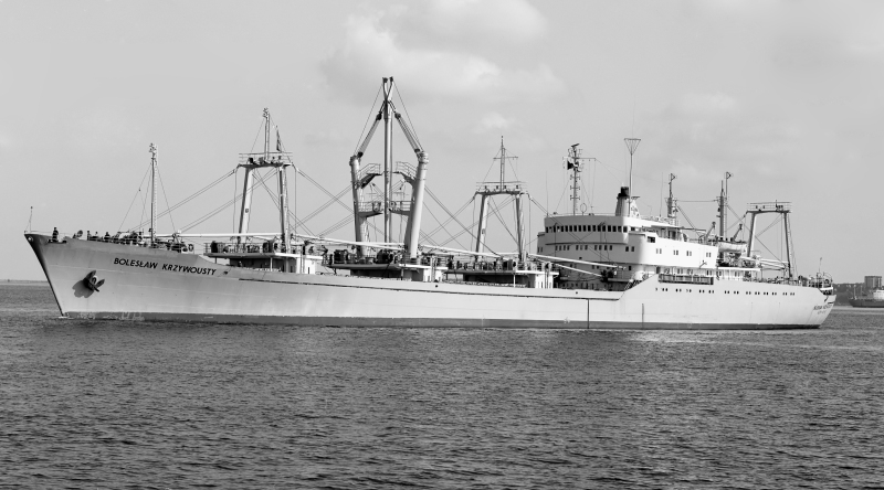
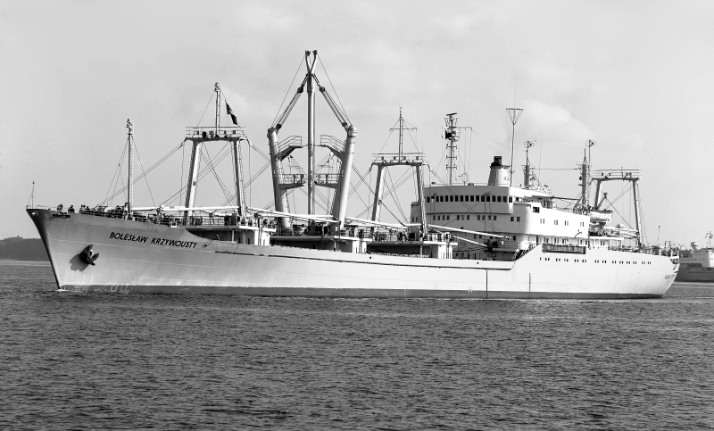
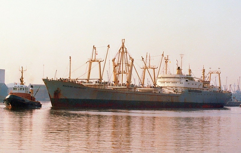
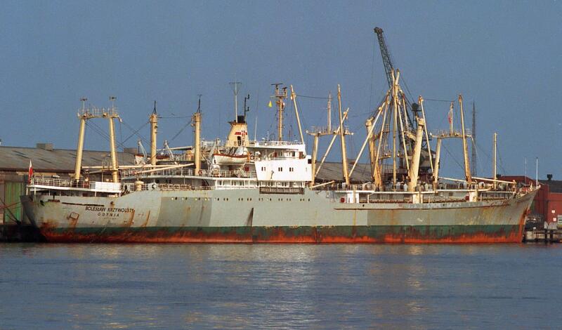
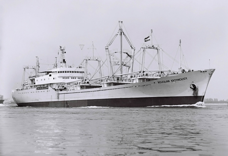
BOLESLAW KRZYWOUSTY - IMO 7041120

Photo
details
Photographer:Chris Howell [ View profile ]
Title:Boleslaw Krzywousty
Location:Avonmouth, Bristol, United Kingdom
Photo Category:General Cargo Ships Built 1970-1979 (over 3000gt)
Added:Apr 26, 2012
Views:1,336
Image Resolution:3,910 x 2,607
Description:
Circa 1979
Completed 1970
Disposal Data:
hit by Eritrean missile 50nm off Massawa 3.1.90 & wrecked 16.23N/39.12W [Gdynia-Massawa]
Vessel
particulars
Current name:BOLESLAW KRZYWOUSTY
Vessel Type:General Cargo
Gross tonnage:8,146 tons
Summer DWT:11,627 tons
Photos:6 photos by 4 photographers
AIS Position
of this ship
There is no AIS Position Data available for this ship!
Would you like to add AIS Coverage?
 Add AIS Coverage
Photo
Categories
This ship exists in the following categories:
General cargo ships built 1970-1979 (Over 3000gt) - 6 photos

COMMENT THIS PHOTO(2)
The wreck remained at the abeam crash site of MERSA Gulbub.
Geographical coordinates given are not entirely correct.
Latitude may be OK, but longitude is definitely East (E) not West (W).
PARTICULARS ( as per owner’s source ).
Tonnage : 5367 / 8146 BRT ; 2956/4695 NRT ; 8137/ 11627 DWt
Dimensions : 145.19 x 18.85 x 9.09 [m]
5 Cargo holds / 5 hatches
12 passengers in 6 double cabins
Propulsion 1 x H.Cegielski –Sulzer 7 RD68 ; 8000hP ( 5884 kW);
Speed : 17.5 knots
Society : Polish Register of Shipping ( PRS ).
Edit
comment
25 years after her grounding, she seems in a rather good appearance on the Google Earth scene dated of February 2015 (position 16°24'01"N & 039°11'31"E).
Regards,
Yvon
Edit
comment